Early Mines
MORRIS SUMMIT
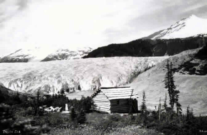
Photo - Prospectors would build their cabins by a water supply
The property is the Prince, Gold, and Summit Lake Crown- granted claims on the west side of Summit Lake about one mile from the north end. Prior to the building of the Granduc road the deposit had difficult access, but it is now easily reached from the road at the north end of Summit Lake. The property was visited several times by the writer, but the two adits comprising the underground workings each time contained " bad air."
The country rocks are crudely stratified green volcanic conglomerates and breccias with intercalated, thin, volcanic sandstones and tuffaceous bands. Bedding generally dips steeply and trends westerly, but the over-all rock structure has been truncated and obscured by the Summit Lake stock and by the local dyke swarms. Along the contact with the Summit Lake pluton the epiclastics have been variably indurated and hornblendized, apparently in relation to the grain size of the intruded material. Coarse, dark-brown hornblende crystals up to 4 inches long are found in volcanic sandstones and fine-grained conglomerates up to 100 feet from the contact, whereas in the coarse conglomerates and breccias the hornblende was best developed in the fine-grained andesitic rock fragments rather than in the matrix.
Alteration along the dyke contacts includes variable induration, pyritization, and epidotization.
In this section the Summit Lake stock is typically a white-weathering, light-grey homblende granodiorite with irregular quartz-rich (20 per cent to 35 per cent) zones. The dykes have been divided into three local groups on the basis of composition and crosscutting relationships.
The oldest are fine grained, dioritic, and resemble the Bear River Pass type but at the mine have been called " green dykes." The younger dykes are porphyritic granodiorites which texturally and compositionally resemble the Premier dyke-swarm type.
The youngest are typical lamprophyre dykes which cut all rock units. The mineralization and apparent structural controls were described at length by White (Ann. Rept., 1946) and Black (Ann. Repts. 1947, 1948) when the property was active and when the underground geology and diamond-drih core was accessible.
The property, located by Ted Morris and associates of Stewart in 1930, was developed by the Premier Gold Mining Co. Ltd. in 1931. In 1934, The Consolidated Mining and Smelting Company of Canada, Limited, drilled several deep holes, one of which intersected good gold mineralization in the area of the present 3600-level No. 1 zone. In 1936, Salmon Gold Mines Ltd. started the 3600-level adit which was extended 1,500 feet over the following three seasons.
In 1945, Morris Summit Gold Mines, Limited, acquired the property and completed 3,724 feet of diamond drilling. In 1946 the 3000 level was started and 2,137 feet of diamond drilling completed.
NEXT PORTLAND PROPERTY